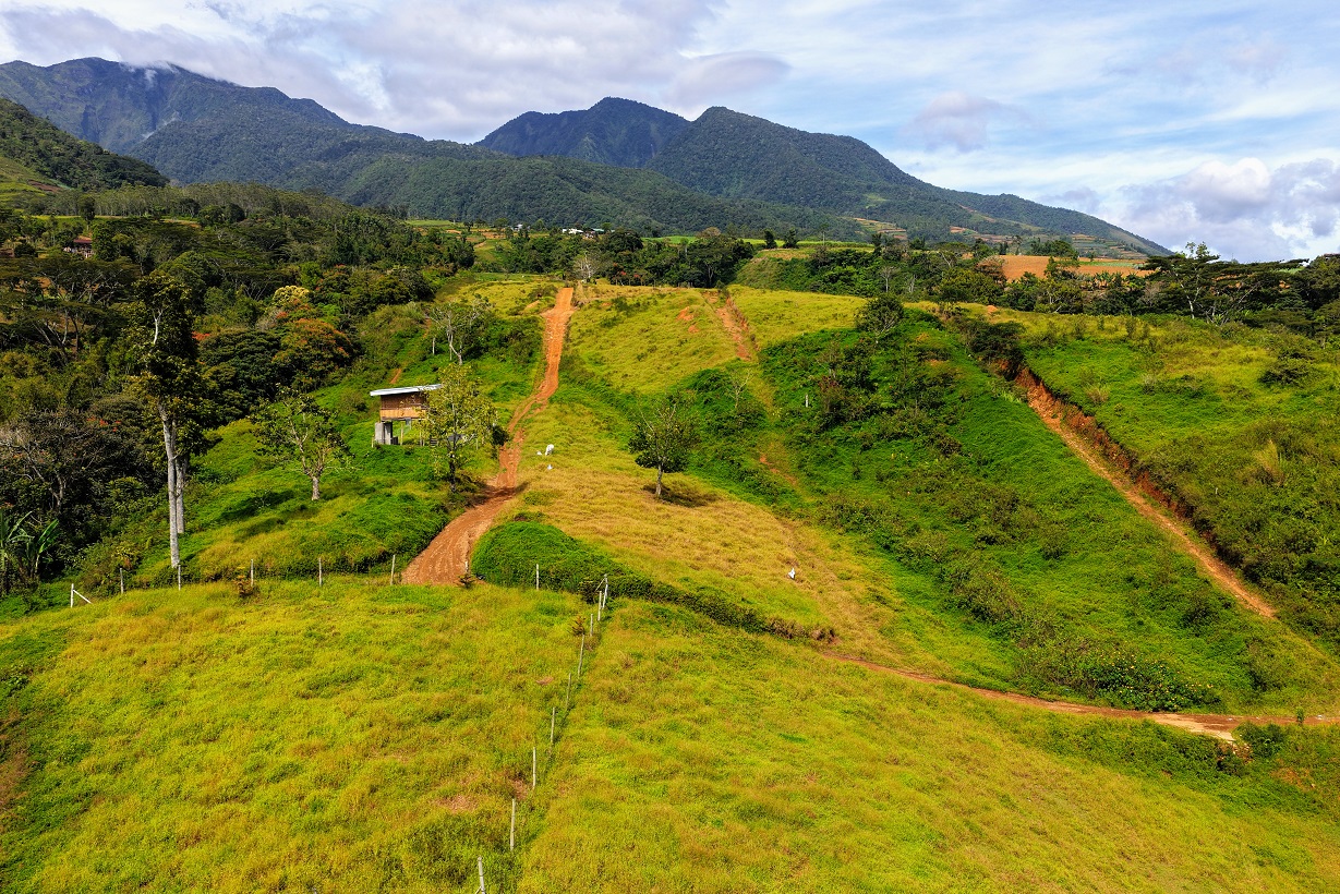
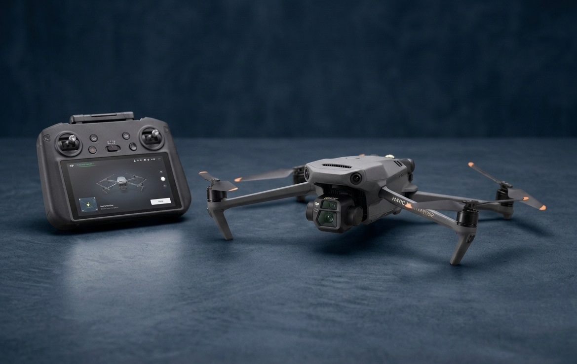
Professional drone thermal inspection and aerial survey services—combining engineering perspective with advanced aerial imaging to turn hard-to-see conditions into actionable insights.
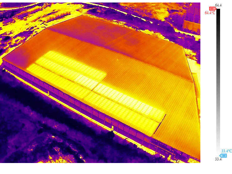
Practical drone data for assets that are difficult, risky, or time-consuming to inspect from the ground.
Detect temperature anomalies in electrical systems, roofs, solar installations, machinery and other assets.
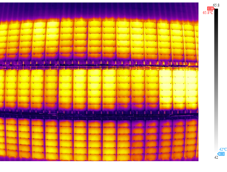
Identify potential hotspots, damaged modules and abnormal thermal patterns efficiently.
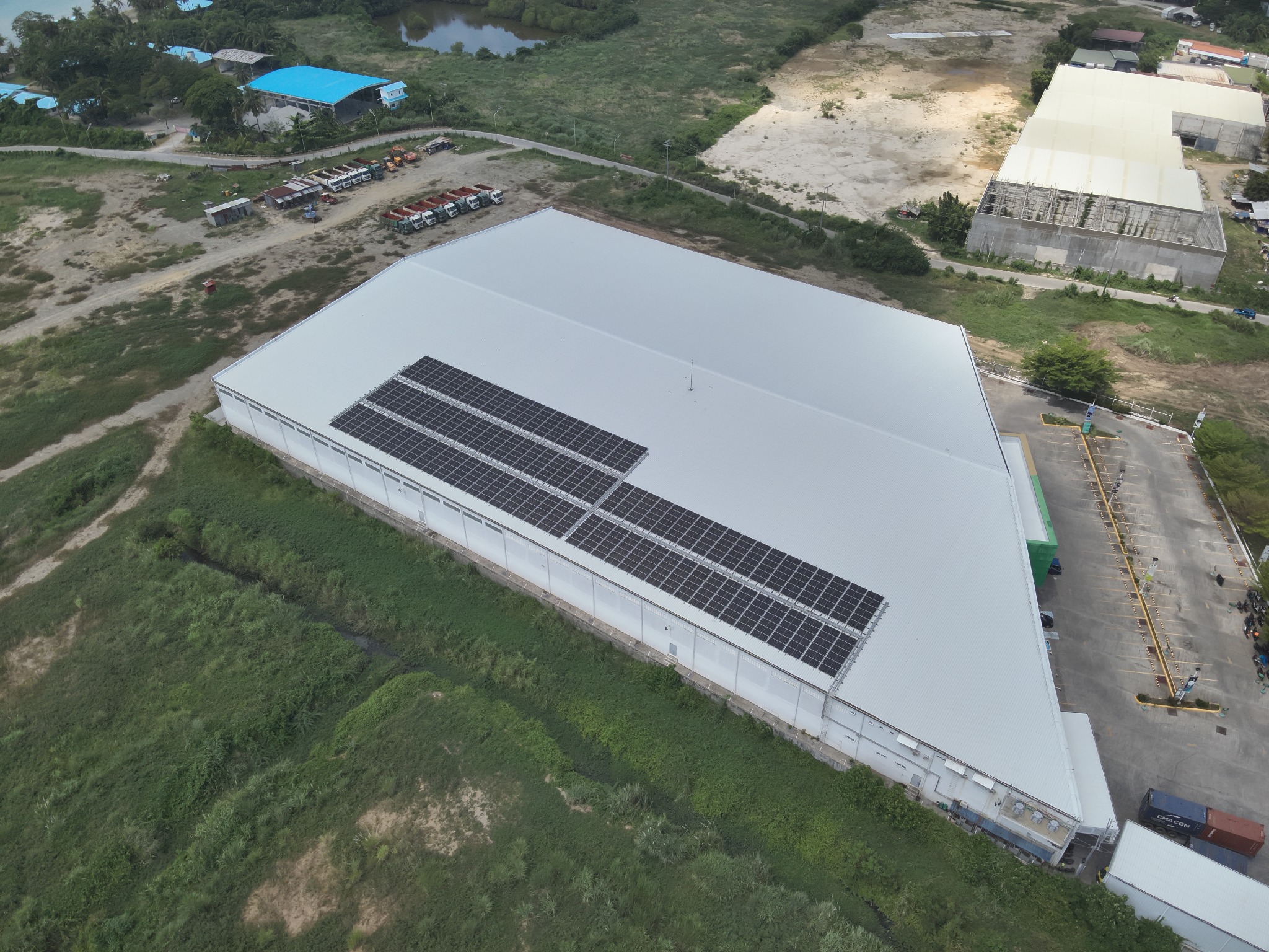
Safe, fast and cost-effective visual assessment of roofs and hard-to-access areas.
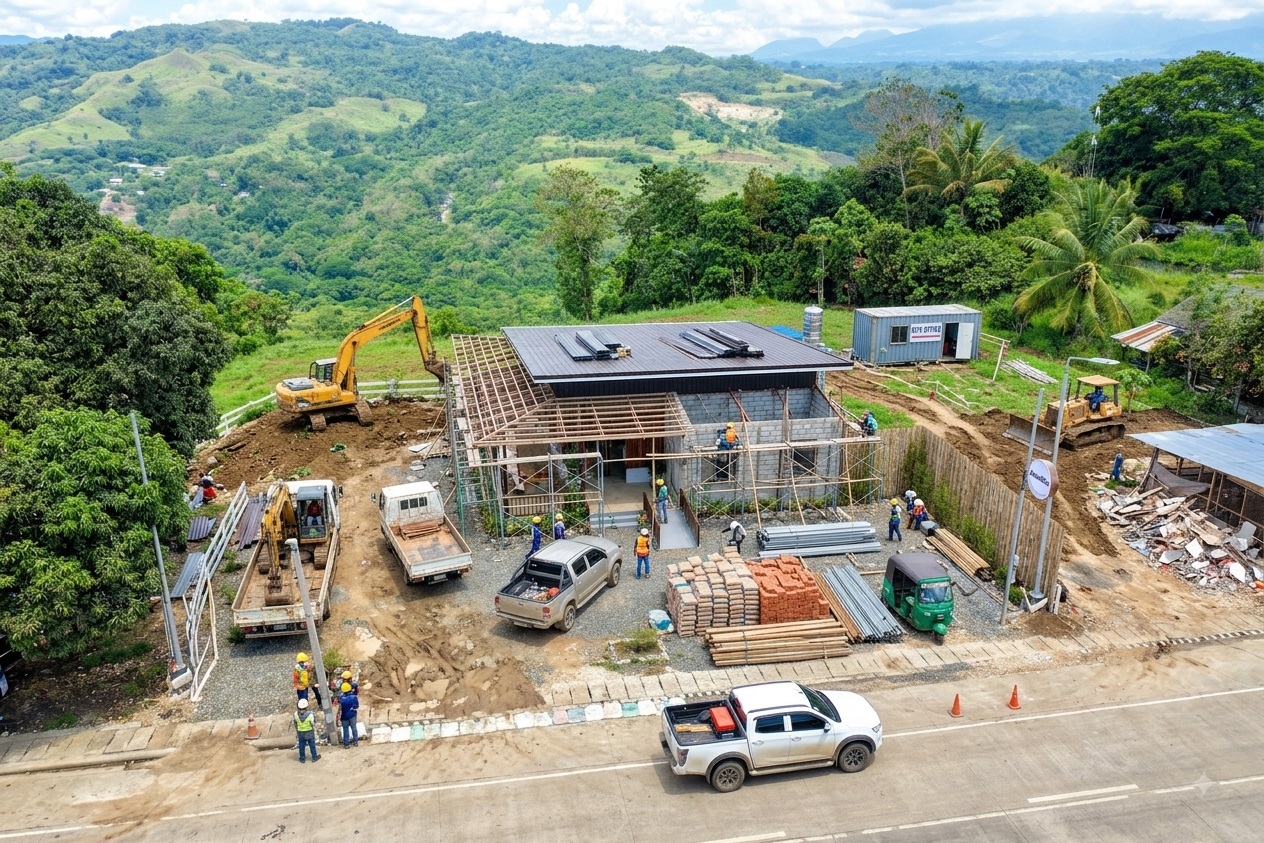
Track progress, document work and create repeatable aerial records.
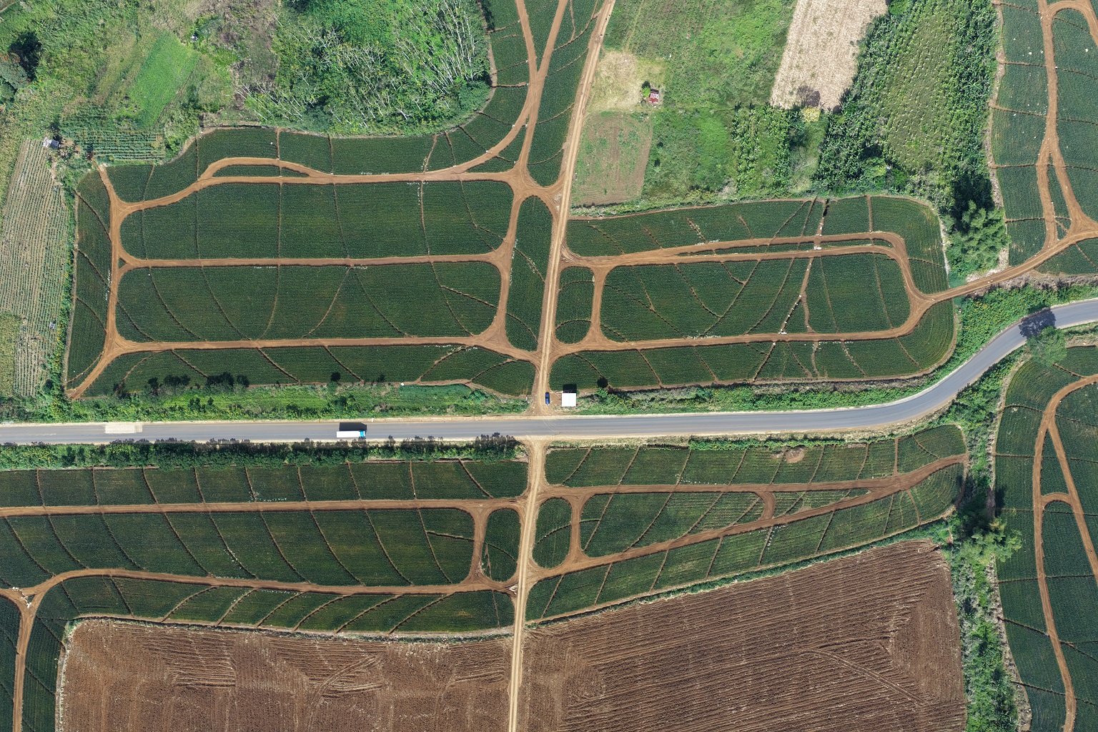
Aerial imagery for site documentation, mapping, planning and visual analysis.

High-quality aerial photos and video for businesses, properties and project presentations.
We don't just capture images. We help you see conditions that can be difficult to identify during a conventional visual inspection.
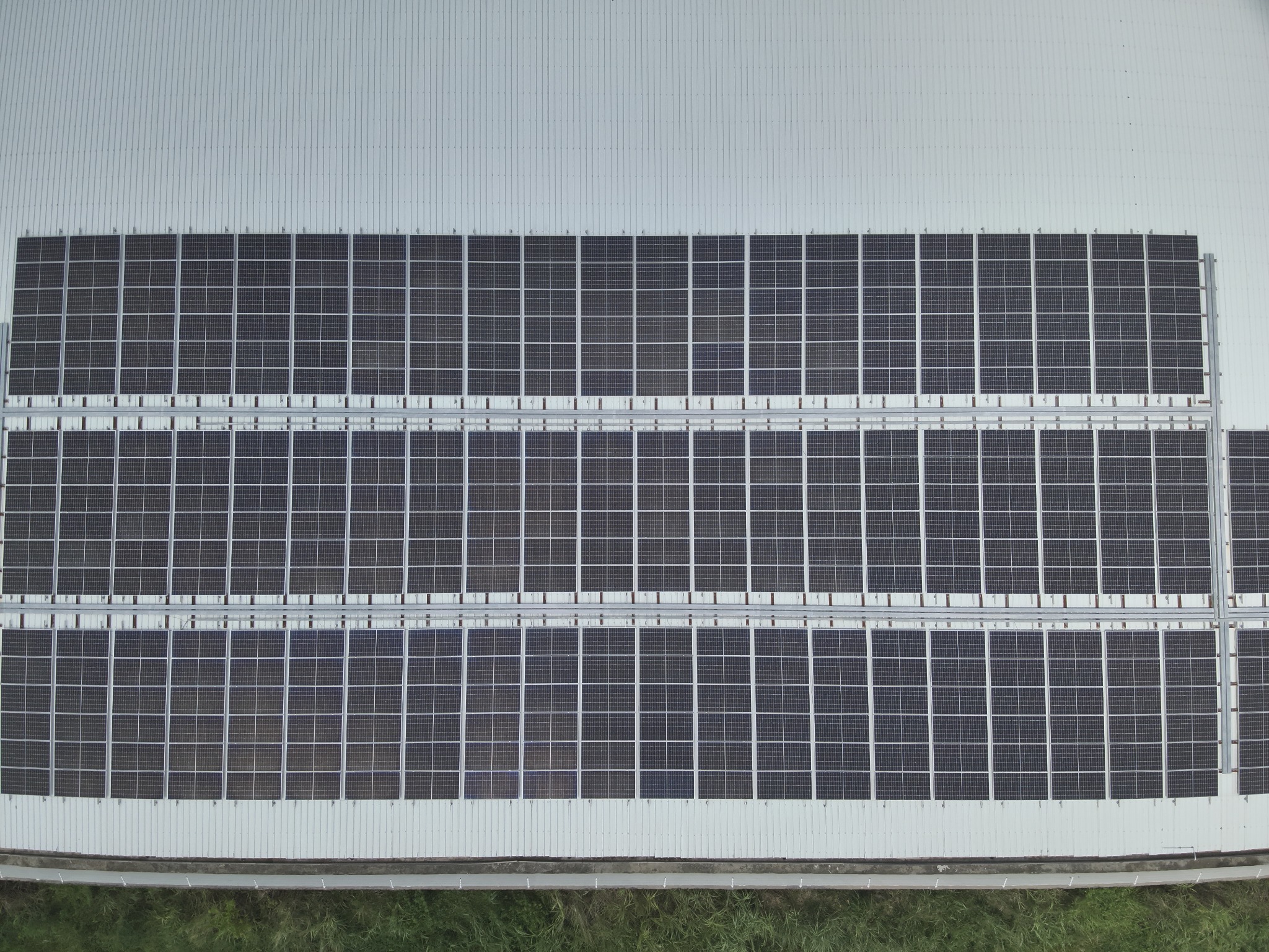
Flexible aerial data collection for commercial, industrial and infrastructure applications.
Discuss your needs, asset and project scope.
Plan the mission and inspection area.
Capture high-quality aerial and thermal data.
Process and review the collected data.
Receive organized findings and imagery.
A selection of aerial and thermal imagery captured using our equipment.
Let's discuss how aerial and thermal inspection can help you make better decisions.